In order to understand how to manage carbon on your farm it is important to first be able to measure it. Knowing where your emissions and sequestration are currently coming from, and what that means in terms of hotspots, should be the basis of developing strategies for the future, but what if it’s difficult to work out how to measure it?
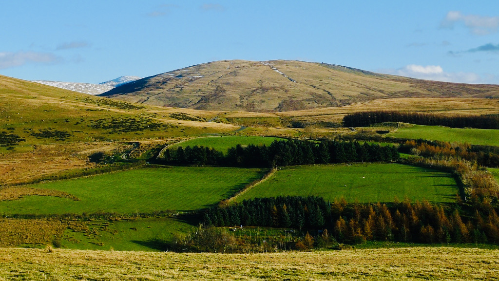
This is exactly the conversations that the team at FCT have been having recently with upland farmers. Through our project work with the Yorkshire Dales National Park, farmers across Dartmoor and the Fellfoot forward partnership, farmers have often felt that the current available carbon tools don’t reflect their farms; an issue which is compounded when they are also grazing commons.
How to ensure that grazing allocations for common land are accounted for, so that the impact of management can be included across these special areas is complicated. This is compounded where there are multiple graziers who may have different numbers of stock and areas of the common, and may also be managing in different ways. These areas are immensely important for carbon sequestration, and, where the environment is peat dominated, management may also contribute to large quantities of GHG emissions as the peat is degraded. Often management of these areas is tightly managed by stewardship schemes to protect biodiversity and natural capital which can sometimes mean that grazing numbers are tightly controlled.
So, what is actually happening on the commons and how do we account for the carbon footprint of the in-bye land and the commons so that the farmers in these landscapes can provide an accurate assessment of what is happening?
We are incredibly excited to be working on a new project with the Foundation for Common Land on their Upland Commons project to dig a little deeper into these issues. We will provide a version of the Farm Carbon Calculator that is specifically designed for GHG accounting across these landscapes, pioneering an approach that empowers the commoners to understand the current carbon balance and what can be done. The project will work in partnership with the commoners of Kinniside Common in the north west of the Lake District to test the new calculator and provide feedback to ensure that what has been developed meets their needs.
Where are we now?
Currently the calculator team are working to collect all the available research and insights to ensure that the best data sits behind this new calculator. At the same time our advisory team are busy talking to commoners, land holders, environmental organisations, Natural England and others to understand some of the complexities and multiple objectives to provide a tool which has genuine use on the ground and will provide insight into the carbon balance of these diverse ecosystems and how they are farmed.
Thank you to the funders
Thanks to National Lottery players through the National Lottery Heritage Fund, Esmée Fairbairn and other local partners and funders of the Foundation of Common Land.
Recent Comments